


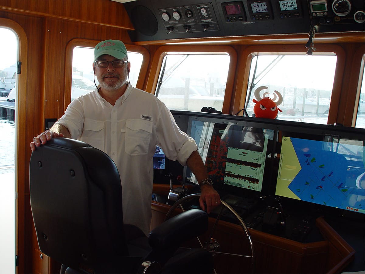
By Craig Walker
Table of contents
- When the Screens Go Dark
- When Even the Navy Reconsiders
- The Elephant at the Nav Station
- But, hold on. There is another “Elephant” we have to deal with
- Sidebar: When the Record of the Voyage Lives Only in Silicon, AKA Why you need Paper Charts
- Standard Practice at Sea
- You drank the Kool-Aid
- Conclusion
- Addendum
- Join The Discussion
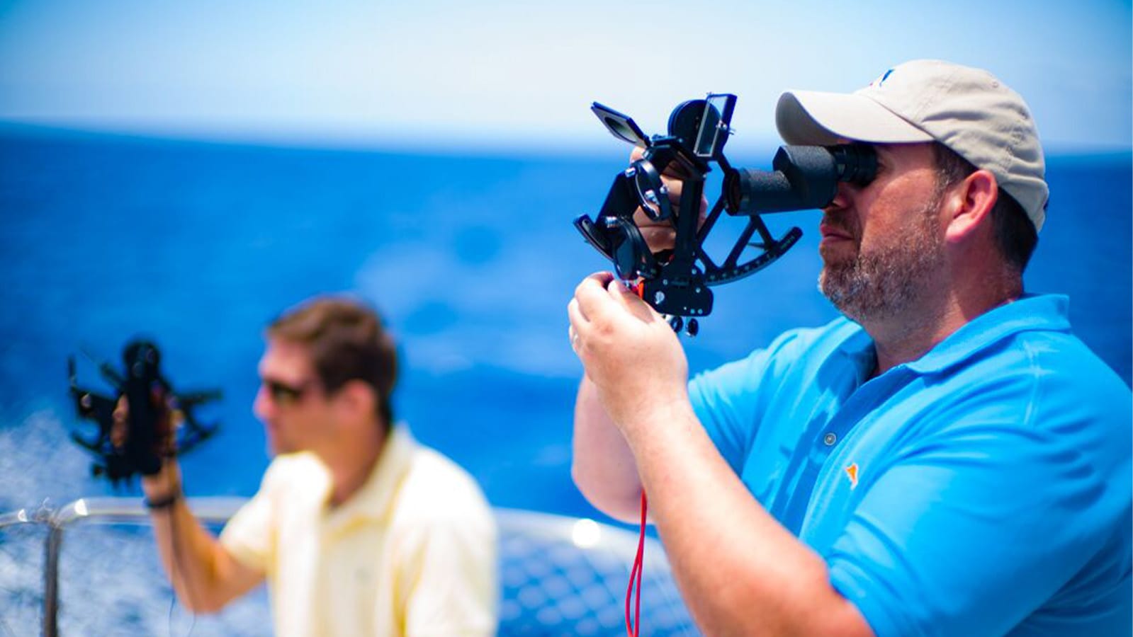
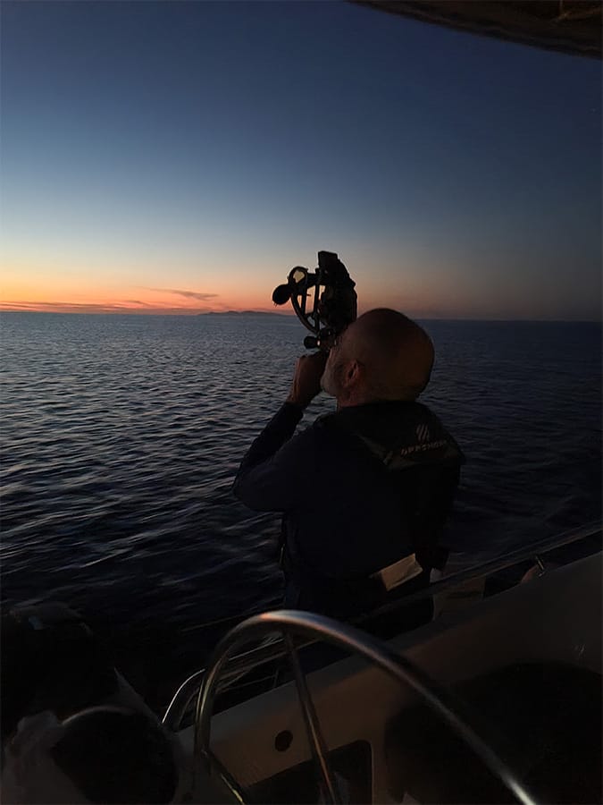
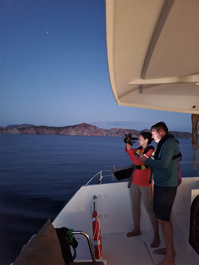
As a Senior Master Instructor for American Sailing, the most challenging course I teach — ASA-108 Offshore Passage Making — is where everything comes together. Sailing skill, coastal navigation, celestial navigation, weather, routing, seamanship, and judgment all converge in the same unforgiving environment: the open ocean. And out there, every offshore navigator learns the same truth sooner or later: electronics are wonderful… right up until they aren’t. When they fail, the only thing left is the math in your head, the sky above you, and the tools you brought to make sense of both.
On my first Pacific Cup sailboat race to Hawaii from San Francisco, I learned this lesson very early in our trip. One of my duties was acting as a back-up navigator. I had recently learned Celestial Navigation in a fifteen-week course from a former math teacher who ran a yacht brokerage and Marine Navigation Center. Anxious to solidify this new skill from day one, I started putting procedures into practice. My crew mates were a little bit annoyed by my asking them to move out of my way so I could get the best celestial sights with my new sextant. That included the skipper who had just spent roughly $1200 on one of the first hand-held GPS and questioned why I was bothering with celestial navigation. That is, until he dropped the unit in the cockpit, knocking the batteries free. This after he spent a few hours “programming” the device, which was required in those days. For a period of several hours, there was no electronic navigation and uncertainty as to whether or not we’d get it back. In that instant, the complaining about my celestial navigation procedures came abruptly to a halt. Eventually, we got the GPS working again but everybody understood the importance of having non-electronic back-up methods.
I had a sailing instructor comrade question me on this once: “Why learn celestial navigation… it’s like driving a model-T when we have Porsches and Mercedes” (in an age before Teslas).
Sooo… You’re crossing an ocean, hundreds of miles offshore. You have multiple GPS units, all using the latest ECN (Electronic Chart Navigation) charts. What could possibly go wrong, eh? What ARE the circumstances that might render all those tools useless?
When the Screens Go Dark
Modern offshore sailors live in a golden age of electronics. Chartplotters are brilliant, AIS is a gift, and GPS is so accurate it feels like magic. But the ocean has a way of reminding us that anything powered by wires, chips, or antennas is ultimately fragile. Offshore, the question isn’t if your electronics will fail — it’s how and when, and whether you’ll be ready when they do.
There are dozens of ways for a navigation system to go silent. Some are mundane: a corroded battery terminal, a low-voltage brownout, a chartplotter that freezes just as you’re approaching land. Others are dramatic: a lightning strike that wipes out every circuit on the boat, or a boarding wave that tears the pedestal display clean off its mount. GPS itself is vulnerable to solar storms, ionospheric disturbances, antenna shadowing, and increasingly, deliberate jamming or spoofing in certain parts of the world.
And then there are the failures we don’t like to think about. Fire. Flooding. Abandoning ship. Situations where the only navigation tools you have left are whatever you managed to grab on the way out — and whatever knowledge you carry in your head.
When Even the Navy Reconsiders

Even the U.S. Navy has taken notice. After decades of relying almost exclusively on electronic navigation, the Navy reinstated celestial navigation training for all deck officers. Not because they’re nostalgic, but because they’ve acknowledged that GPS and shipboard electronics are vulnerable to jamming, spoofing, cyberattack, and even electromagnetic effects that could disable entire systems at once. When the most technologically advanced navy in the world decides that sextants still matter, it’s worth asking why.
The truth is simple:
When electronics don’t work, the only navigation system that cannot be taken from you is the one in your head… along with a few physical resources (a sextant, Nautical Almanac, Sight Reduction Tables, nautical charts, etc.)
Celestial navigation isn’t a romantic throwback. It’s the last layer of redundancy in a world where every other layer depends on power, silicon, and satellites. Offshore, that redundancy isn’t optional. It’s seamanship.
The Elephant at the Nav Station
Next, let’s address the “Elephant at the Nav Station”. What is your Math-ti-tude?
You’re going to need to some basic mathematical skills for overall navigation:
- Adding and subtracting distances
- Adding and subtracting time
- Solving Time, Speed and Distance equations using simple algebra. We call this “DR” for Deduced Reckoning.
- Distance = Speed X Time
- Determining Estimated Time of Arrival (ETA)
- Adding and subtracting angles
- Understanding the Earth’s coordinate system (sorry flat-Earthers, celestial navigation won’t work if you don’t believe the Earth is round!)
- Making adjustments for True, Magnetic and Compass for Headings, Courses and Bearings.
By the way, I am a techie. I was an electronics engineer for more than twenty years and I love gizmos and gadgets. However, manual backups are “in addition to” and not “instead of” our electronics.
ASA-105 Coastal Navigation provides the needed foundation for understanding and applying coastal navigation procedures.
With this knowledge in hand, ASA-117 Celestial Endorsement and ASA-107 Celestial Navigation walk a person through all the methods necessary for precisely determining your position at sea… with NO advanced mathematics! You can actually use the mathematics you learned in Junior High School after you dust off a few cobwebs.
Sailing skills aside, let me not leave out the importance of ASA-108 Offshore Passage-Making where you learn about great circle routes, gnomic charts, pilot charts, etc., all of which come in electronic forms but evaporate when the electrons stop flowing. Planning for and participating in an offshore voyage as part of this class is a fulfilling and rewarding confidence builder.
But, hold on. There is another “Elephant” we have to deal with
At sea, there is NO substitute for paper charts. We are all making the transition to Electronic Chart Navigation (ECN), Electronic Navigational Charts (ENCs) and the fact that NOAA will no longer provide traditional paper charts. Once again planning for the possibility of systems failure, paper charts are essential for redundancy and record keeping. The good news is that there are NOAA official print-on-demand nautical charts from approved suppliers, including weekly updates.
Sidebar: When the Record of the Voyage Lives Only in Silicon, AKA Why you need Paper Charts
On a modern vessel, the chartplotter doesn’t just show where you are — it quietly records where you’ve been. Tracklines, waypoints, routes, speed profiles, weather overlays, AIS encounters, depth traces, and time-stamped decisions all accumulate inside a single electronic brain. It feels permanent, almost archival, as if the voyage is being automatically documented for posterity.
But it isn’t.
For most small sailing vessels — especially those carrying passengers for hire — there is no voyage data recorder, no hardened server room, no redundant ECDIS suite, and no automatic cloud-syncing of navigation data. There is just one chartplotter, one SD card, one GPS antenna, one power source. If any of those fail, the entire navigational history of the voyage can vanish in an instant.
A lightning strike can wipe it clean.
A dead battery can freeze it.
A corrupted chart card can erase it.
A failed display can make it inaccessible.
A knockdown can drown it.
An EMP or large-scale electronic disruption can destroy it outright.
Even cloud-based backups — when they exist at all — depend on the same fragile chain of electronics, antennas, routers, and connectivity. If the system can’t boot, it can’t upload. If the antenna is gone, the cloud is gone. If the power is gone, everything is gone.
And yet, the regulatory expectations remain. Passenger-carrying vessels are still required to maintain a log of the voyage: positions, weather, course, speed, and navigational decisions. If all of that lives only inside a chartplotter, then a single point of failure can erase not just situational awareness, but also the vessel’s legal and operational record.
This is where traditional navigation earns its keep. A plotted DR track, a noon sight, a hand-written log entry — these are physical, durable, inspectable records. They survive lightning. They survive dead batteries. They survive a failed chartplotter. They survive abandoning ship. They survive the kinds of failures that erase digital history without a trace.
Electronics are wonderful.
But they are not self-authenticating, not self-preserving, and not self-documenting.
When the screens go dark, the only record of the voyage that remains is the one you made yourself — on paper, with pencil, with math, and with skill. That’s not nostalgia. That’s seamanship.
Standard Practice at Sea
When I navigate offshore, my standard practice is to update my paper chart at regular intervals. Within a hundred nautical miles of land, that interval is every four hours. Beyond that distance, the interval can be extended to every six to eight hours. This usually coincides with changes of watch, which is dependent on the number of crew members. Fixes are plotted showing both electronic results and the results of celestial sightings. Lat. and Long. are recorded in the written logbook and can be easily compared. Discrepancies are noted. Unfortunately, this usually means that I have made a math or plotting error. I make sure that I work backward to identify the error. This system of checks and balances ensures safety and also helps maintain competency.
You drank the Kool-Aid
You’ve got the sextant, books, plotting tools, charts, everything you could possibly need. You made it through ASA 107. But, have you practiced? A sextant is not a talisman. It only works if you do!
Don’t be like Robert Redford in the movie “All is Lost” and believe the right time to start reading a book on celestial navigation is after you’ve boarded the life raft! Once you’ve established competency in a skill, use it or lose it.
Conclusion
Offshore, confidence doesn’t come from the brightness of your screens or the sophistication of your electronics — it comes from competence. It comes from knowing that if every wire burns out, every battery dies, and every satellite goes silent, you still have the skills to find your way. Redundancy isn’t paranoia; it’s seamanship. It’s the quiet discipline of plotting the DR, updating the paper chart, taking the noon sight, and keeping a written log because you understand that the ocean rewards preparation and punishes assumption. When you cultivate real navigational skill — the kind that lives in your hands and your head, not in your hardware — you carry a different kind of confidence offshore. Not bravado, not hope, but the earned assurance that no matter what fails, you won’t.
In the end, the ocean doesn’t care what gear you brought — only what you know… COMPETENCE OUTLASTS ELECTRONICS!
Addendum
Circumstances That Can Render Electronic Instruments & Navigation Tools Useless
Note: While exact statistics are not published for small vessels, decades of casualty reports and offshore practice suggest the following order-of-magnitude likelihoods.
1. Power-Related Failures
- Total loss of vessel power — 1–5%
- Low-voltage brownouts / partial power loss — 10–20%
2. Environmental & Mechanical Damage
- Saltwater intrusion — 5–10%
- Lightning strike or near-strike — 0.1–1%
- Physical shock or impact damage — ~5%
3. GPS-Specific Vulnerabilities
- GPS signal loss or degradation (solar storms, ionospheric issues) — 5–15%
- GPS jamming or spoofing — 0.1–1% and rising
4. Software & System Failures
- Chartplotter firmware crashes — 10–20%
- Electronic chart corruption or expiration — 5–10%
- Network failures (NMEA 0183/2000) — 15–25%
5. Human-Factor Failures
- Mis-entered waypoints — 20–40%
- Over-trust in the display — 100% (universal)
6. External Infrastructure Failures
- Satellite constellation outages — 0.1–1%
- Regional charting inaccuracies — 5–15% depending on region
7. Catastrophic Events
- Fire aboard — 0.1–1%
- Abandoning ship — 0.01–0.1%
8. Strategic / Military-Grade Disruptions (NEW)
- Electromagnetic pulse (EMP) or large-scale electronic disruption
Probability: Extremely low for civilian sailors, but explicitly acknowledged by the U.S. Navy
Effect:- GPS receivers disabled
- Chartplotters, radios, and autopilots fried
- NMEA networks destroyed
- Total electronic navigation blackout
Why is this last bullet credible?
The U.S. Navy reinstated celestial navigation training for all deck officers specifically because GPS and shipboard electronics are vulnerable to jamming, spoofing, cyberattack, and electromagnetic effects. When the most technologically advanced navy on Earth decides that sextants are still essential, that’s not paranoia — that’s prudent seamanship.
Verified Timeline: When the U.S. Navy Dropped and Later Reinstated Celestial Navigation
When it was discontinued
- NROTC stopped teaching celestial navigation in 2000.
- The U.S. Naval Academy removed celestial navigation from its curriculum in 2006.
These two changes effectively ended formal celestial navigation training for most new Navy officers.
When it was reinstated
- The Naval Academy resumed classroom instruction in summer 2015, after a roughly 15-year hiatus.
- In 2016, the Navy formally ordered the reinstatement of celestial navigation training as a required competency for officers.
This wasn’t nostalgia — it was a strategic decision driven by concerns about GPS vulnerabilities, including jamming, spoofing, cyber threats, and the fragility of electronic systems.
About the Author
Captain Craig Walker is a Senior Master Instructor for American Sailing and American Boating. He has been sailing for more than 55 years and teaching since 1989. He has served as a lead instructor for two sailing schools and has developed curriculum and teaching materials for basic through advanced courses. Craig has raced across the Pacific twice as navigator during two Pacific Cup races from San Francisco to Hawaii and won the 1994 Navigator’s Trophy using celestial navigation. His favorite courses to teach are ASA 101 Keelboat Sailing and ASA 107 Celestial Navigation. When not teaching sailing, Craig mentors new instructors through American Sailing Instructor Qualification Clinics, teaches DIY Solar Power, and performs music.

Join The Discussion