


By PredictWind
Table of contents
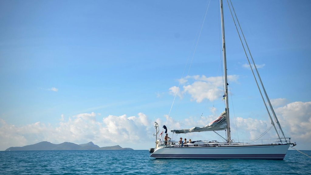
Offshore sailing has always been an exercise in managing uncertainty. For most of sailing history, that meant a combination of experience, instinct, and whatever weather information you could get your hands on, most of which is still relevant today, but we have much better access to a range of sources and tools to help make better decisions.
The tools have improved considerably. But are people using them well?
Understanding the Weather Picture
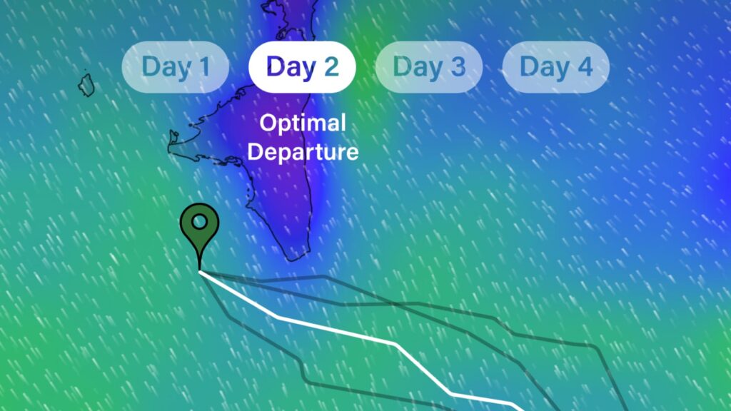
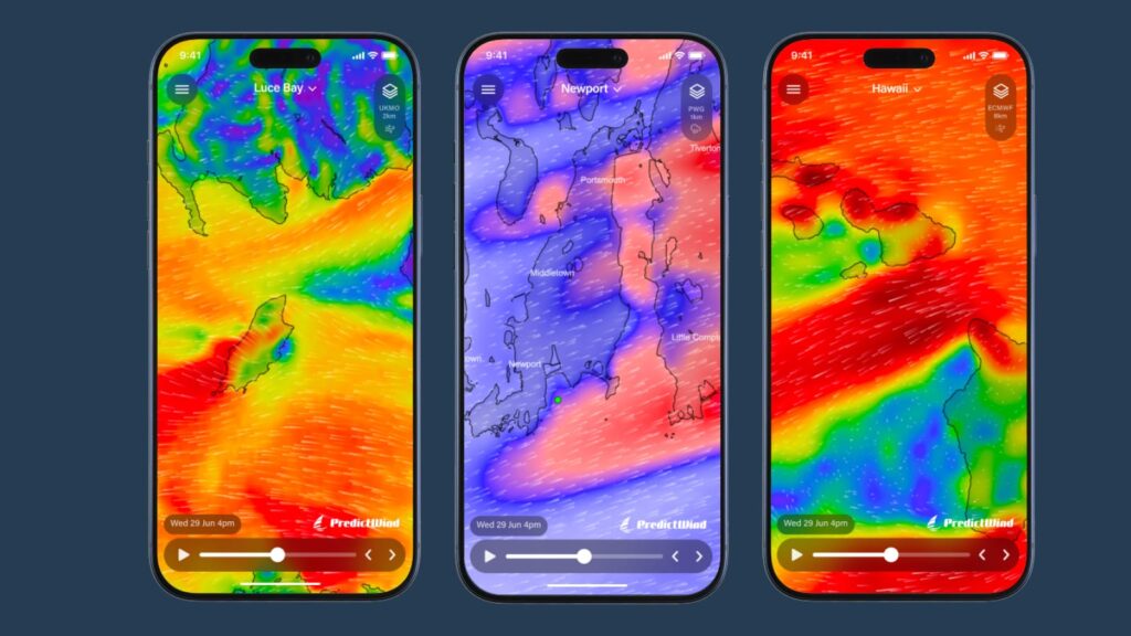
A common mistake sailors make is trusting a single model. Every numerical weather prediction has limitations. Different models use different data inputs, different resolution grids, and different physical assumptions. On any given day, the ECMWF might show a trough arriving Tuesday morning while a regional model pushes it to early on Wednesday. Those 24 hours can mean the difference between a comfortable passage and a difficult one.
The discipline of comparing multiple models isn’t new. Professional meteorologists have done it for decades. What has changed is that this comparison is now readily accessible to anyone. When the models agree, you can plan with reasonable confidence. When they diverge, that divergence itself is information to be noted, it tells you the atmosphere is in a state that’s genuinely hard to predict, and your planning should reflect that with wider margins and contingency options.
Applying the Forecast to Your Boat
Understanding what the weather will do is only half the problem. The other half is understanding what it will mean for your specific vessel and crew.
Wave modelling has matured significantly. A forecast that shows 3 metre seas tells you relatively little without knowing the period, the direction relative to your heading, and whether you’re dealing with a single organised swell or confused cross seas. These factors determine whether a passage is manageable or one to avoid.
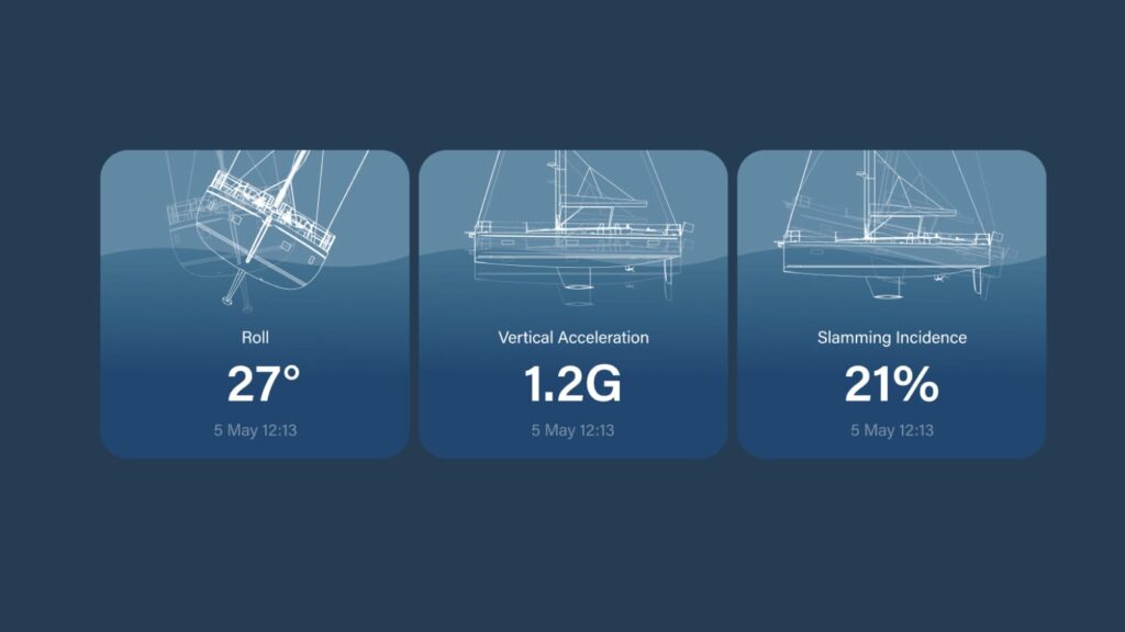
Comfort and safety metrics like roll motion, vertical acceleration, and slamming frequency can now be calculated along a proposed route using real sea state data. This matters more than many sailors understand until they have experienced it. Crew and equipment fatigue is a safety issue. A route that saves four hours but delivers a crew that’s been hammered for 36 hours isn’t necessarily the right choice.
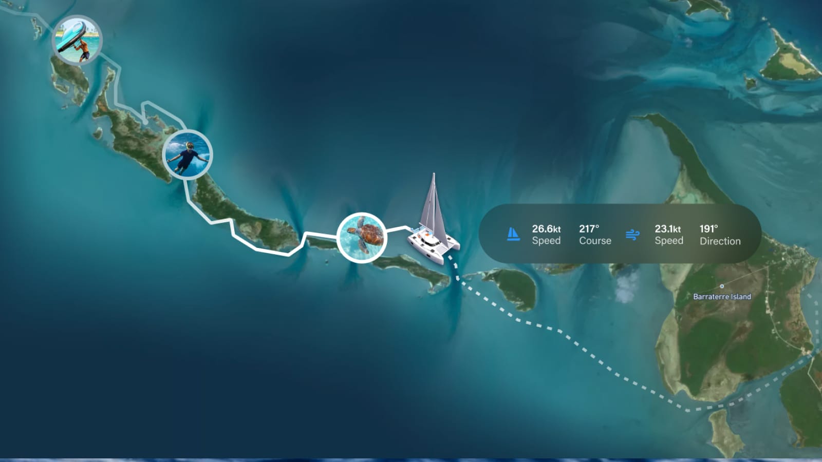
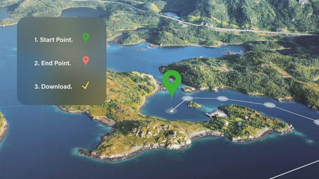
Routing tools can now account for your boat’s specific characteristics including sail plan, stability, and polar performance, and show you what to really expect on a passage before you leave the dock. This is a fundamentally different kind of planning than drawing a rhumb line and hoping the forecast holds.
Fresh Forecasts Once You’re Out There
A passage plan made at the dock is a starting point. Conditions will more than likely change as forecasts are updated. What you meticulously planned on Monday may need rethinking by Wednesday afternoon.
The practical discipline here is maintaining awareness without becoming overwhelmed. Regular forecast updates, cross checked against what you are observing, allows you to identify when reality is diverging from the plan early enough to respond in a seamanlike manner rather than reactively. This may mean slowing the boat down to let a front pass or even hoving to in exceptional circumstances.
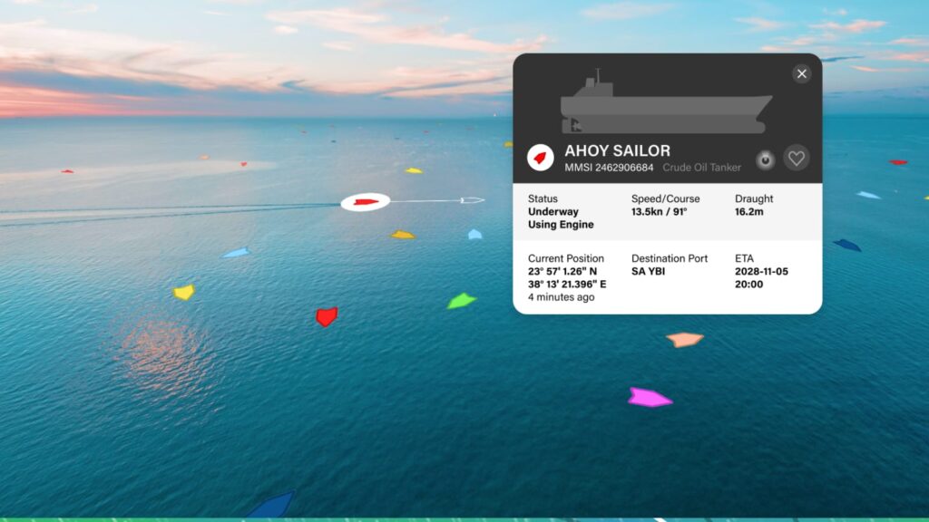
AIS integration gives you traffic awareness for watch keeping and forward planning. GPS tracking shared with shore contacts gives someone ashore the ability to raise an alarm if something goes wrong. These aren’t luxuries for long distance passages, they are sensible practice for any passage, coastal or offshore.
Better Prepared, Better Decisions
Regardless of how many miles you have under your keel, the goal is always the same, arrive safely, with crew and boat intact. The tools available today make that outcome more likely for every sailor who uses them.
More data, when used in earnest, leads to better decisions. Knowing that two models disagree on a front timing gives you the opportunity to delay departure or build in a safe harbour option. Knowing your proposed route will put the crew through 36 hours of confused cross seas gives you the chance to find a better window. These aren’t decisions the software makes. They’re decisions you make using tools to give a clearer picture of what’s actually ahead.
Managing uncertainty is a skill that can be learned, there’s a meaningful difference between uncertainty you’ve accounted for and uncertainty that catches you unprepared. Using the available tools to close that gap is simply good seamanship.
Join The Discussion