


Online class overview
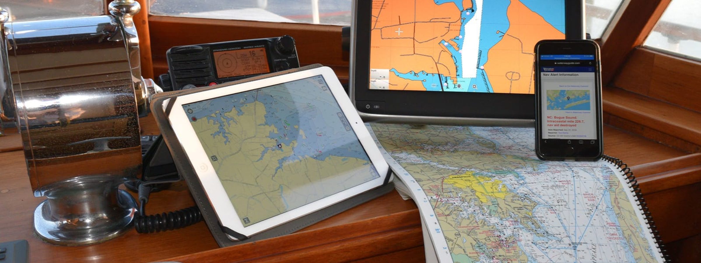
This online class takes you step-by-step through the recent developments in mobile navigation applications, data sources, cartography, and trends. Using a series of images, extracts, and data from the world’s leading cartographers and app developers, you will see how mobile apps differ, where data and information originate, and how you can make decisions about which technologies will assist in keeping you safe and aware when on the water. Mobile apps and Electronic Nautical Charts (ENC) including Navionics, Aqua Map, Raymarine, C-Map, Garmin, Argo, and others will be explored.
Who is this online class for?
This online class is geared toward beginner sailors, coastal cruisers, and offshore adventurers who want to know how today’s cartographers and ENC designers are adapting and delivering accurate charts. Knowing where data comes from, and how often it is refreshed, will be presented during the exploration of the topic.
What will I learn?
You will learn about recent trends in the creation of vector data, how ENC designers use the data, which mobile applications are dedicated to consistent refresh schedules, how Hydrographic Offices worldwide are adapting their architecture to accommodate data distribution, and how to develop a checklist of what’s important to you when making a decision about which ENC(s) to use.
List of topics:
- Transitioning from paper charts to electronic charts
- Where does the data originate
- How is data distributed
- Why do different charts use different colors
- How many mobile apps are there
- What makes a chart plotter different than a mobile app
- Who do you trust for your information
- How to transfer tracks and routes among devices as .gpx files
- How can I learn it all