

Online class overview
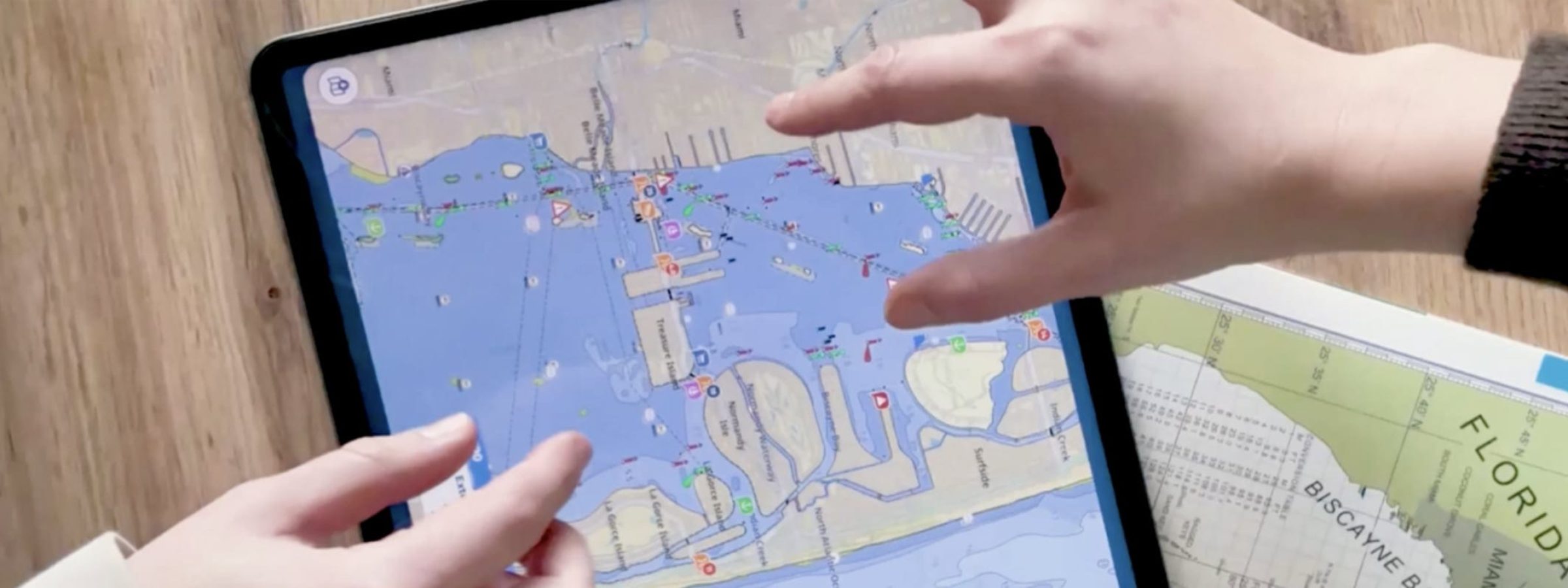
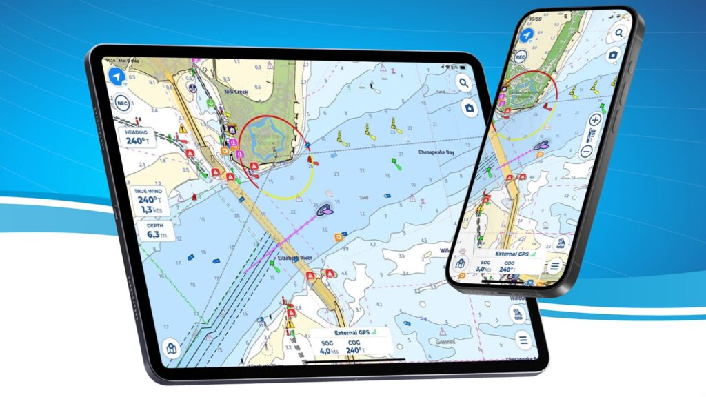
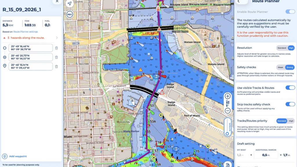
In this online class, the Aqua Map team will show sailors how to incorporate current navigational information into route planning and everyday navigation.
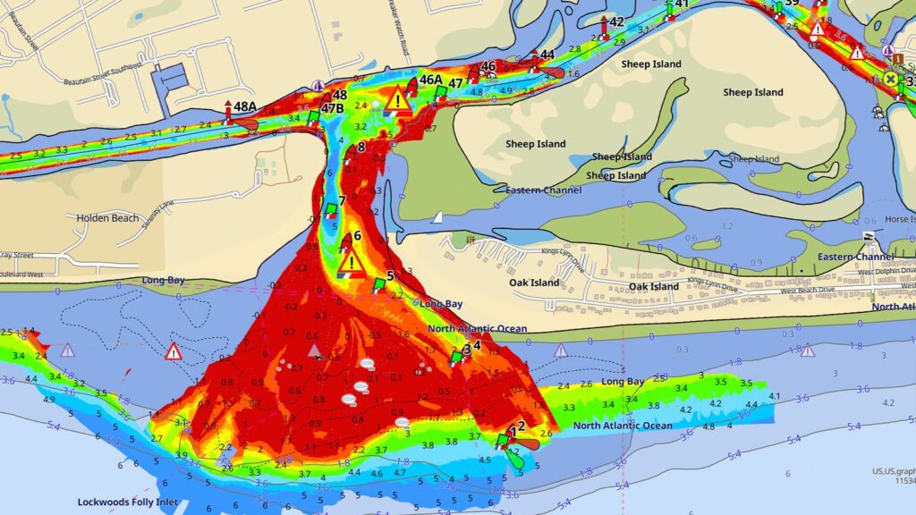
Using Aqua Map and real-world examples, you’ll see how information from sources such as the U.S. Coast Guard and U.S. Army Corps of Engineers can add important context to a chart. The class will explore examples from the Intracoastal Waterway, where changing depths, dredging, restrictions, and other conditions can have a significant impact on a planned route.
The session will also feature Ted Arisaka, an experienced ICW navigator and longtime Aqua Map beta tester, who will share practical insight from navigating these waters.
Who is this online class for?
This online class is designed for sailors who are dreaming about cruising, preparing to purchase a cruising boat, or actively planning their transition to life aboard.
This class is for coastal cruisers, ICW sailors, passage planners, and recreational boaters who use electronic navigation and want to make more informed route-planning decisions.
It’s also a great fit for sailors who already use Aqua Map, as well as those who are curious about how modern navigation tools can bring charts and current navigational information together.
What will I learn?
You’ll learn how to look beyond the underlying chart when planning a voyage and identify additional information that could affect your route.
Using Aqua Map, we’ll explore USCG and USACE information, changing conditions along the ICW, and examples of how adding current navigational information can change your understanding of an area. You’ll also see how these tools were used during Sail4th 250 and learn about the expansion of navigational information into additional cruising regions around the world.
List of topics:
- Safe navigation and route planning
- Using charts with current navigational information
- USCG notices and updates
- USACE channel and waterway information
- Changing conditions along the ICW
- Sail4th 250 navigation case study
- International navigational information
- Future Aqua Map updates