




by Savvy Navvy
Table of contents
Navigation has always meant working with several layers of information at once: wind, tide, current, and wave state. Each is complex enough on its own, but the real skill, and the ultimate value of modern navigation apps, is in reading them together and intelligently building a route around how they interact across the whole passage rather than a single snapshot taken at departure. In short, navigating with a comprehensive context of the bigger picture.
A 12‑knot breeze blowing against an opposing current can significantly change conditions for the worse. Add short, steep waves on top, and conditions that looked manageable on the dock can turn into an uncomfortable ride. This is where, combined, continuously updating routing, rather than four separate forecasts, can make all the difference.
Why intelligent data matters at sea
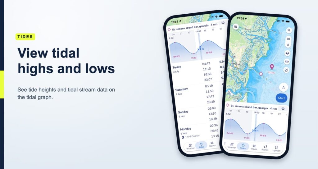
Wind tells you how the air is moving and how your boat will respond: your point of sail, your speed through the water, and your general comfort level. Tide is the vertical rise and fall of the water, which determines depth. Current is the horizontal movement of the water, and it’s the factor that boaters most often underestimate because, unlike wind, you can’t feel it directly. You only notice its effects, such as when a course drifts from where you pointed the bow, or when your ETA keeps slipping.
Waves add a fourth layer that matters just as much as the other three, and arguably has the biggest effect on how a passage actually feels. Wave height, steepness, and period are essential for planning a comfortable day on the water: short, closely spaced waves produce a sharper, less comfortable ride, while the same energy spread over a longer period yields a gentler, more manageable ride. Boaters often highlight this steepness and behaviour, rather than height alone, as the real measure of how challenging conditions are, and experienced instructors note that wave state, more than wind speed on its own, often determines whether a passage feels comfortable or exhausting.
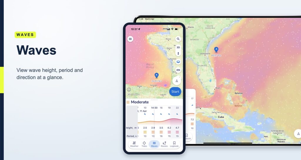
Put these four together, and the picture sharpens considerably. A moderate breeze against an opposing current can already build a short, steep chop. Layer in a short wave period and what looked like a mild day on the wind forecast can turn into something far more demanding. None of this becomes clear if wind, tide, current, and wave forecasts are checked as separate, unrelated sources.
How smart routing brings it all together
This is exactly what Smart Routing is built to do. In Savvy Navvy, a Smart Route combines wind, weather, tide, and wave data with charted depths, hazards, recommended tracks, local regulations, and shipping lanes, along with your specific vessel type, into a single route rather than a set of separate readings.
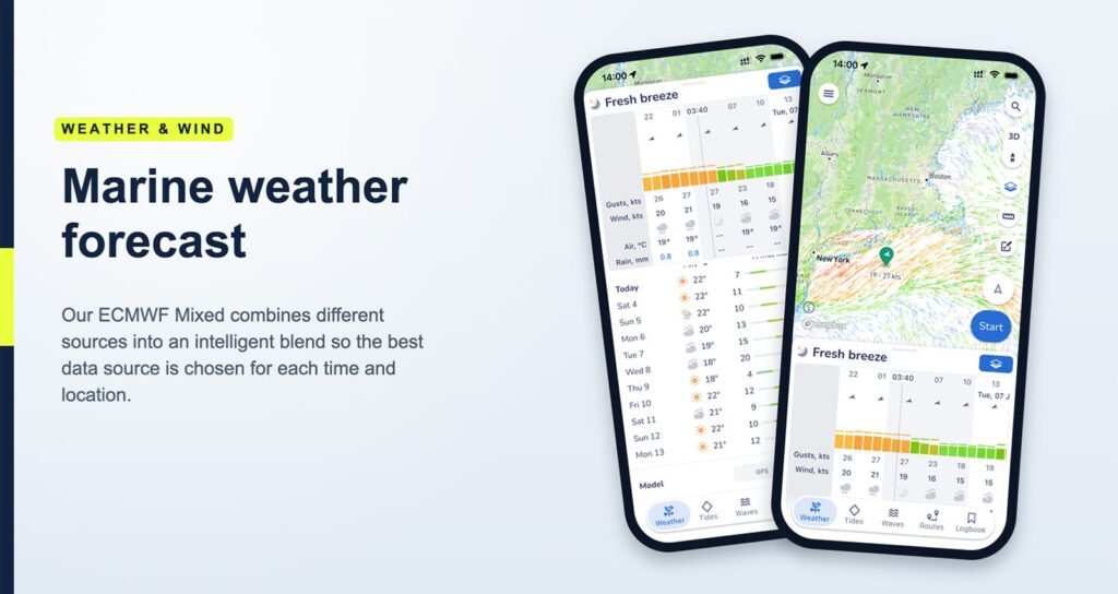
What actually makes routing “smart” isn’t just the number of data layers it includes, but also when and how often it evaluates them. Traditional planning builds a route around conditions at a single point in time: the moment you sit down to plan. Smart Routing instead looks at the forecast for every point along your route, at the time your vessel is expected to reach it, and builds the plan around that changing picture rather than a fixed snapshot. Once you’re underway, it keeps reanalysing, adjusting for shifting forecasts, or recalculating if you drift off the planned track. That continuous, whole-route analysis, rather than a single upfront calculation, is the real distinction between basic and smart navigation, and it’s a part of the feature that’s often underappreciated, even by experienced boaters.
A few features are especially useful when planning this way:
- Smart Route planning combines wind, weather, tide, wave data, depths, charted hazards, recommended tracks, regulations, and shipping lanes into one route, and keeps reanalysing them throughout your passage rather than only once at the start.
- Wind overlays show forecast direction and strength along the route, making it easy to see where you’ll be beating, reaching, or running.
- Wave and comfort overlay turns wave height, period, and direction into a simple, colour-coded view, so you can see at a glance where a passage will feel smooth and where it’s likely to get uncomfortable.
- Departure time adjustments let you shift your start time and instantly see how your ETA and conditions change, helping you find the window with the most comfortable ride.
- Offline chart access means your plan stays available even without a signal once you’re on the water.
A practical walkthrough
Say you’re planning a passage from one harbour to an anchorage a few hours down the coast. Here’s roughly how that planning session looks when using a navigation app with everything layered together:
- Set your start point and end destination: Smart Routing calculates an initial route factoring in wind, weather, tide, waves, charted hazards, and your vessel type.
- Review conditions along the route: toggle the wind and wave/comfort overlays together to see how conditions and comfort change across the passage.
- Check tidal streams along your track: see where they’re working with you, against you, or across your intended course.
- Adjust your departure time: see how departing at different times can affect your ETA and comfort. Even a small shift can turn a slow, uncomfortable passage into a smoother, faster one.
- Share your plan: send your route to friends or family so they know your intended track.
- Save or start your route: then let Smart Routing keep working. It continues to reanalyse conditions as you go, adjusting if the forecast shifts or if you drift off your planned course.
Boating made smarter, not harder
What Smart Routing changes is not just convenience, but confidence. By combining wind, tide, current, waves, and chart data into one continuously updating view, it helps you choose better departure times, plan more comfortable routes, and see in advance how a passage is likely to play out, then keeps adjusting that picture as you go.
That’s the real advantage of routing that thinks in layers and keeps thinking throughout the trip: less guesswork at the dock, and a plan that stays useful the whole way there.
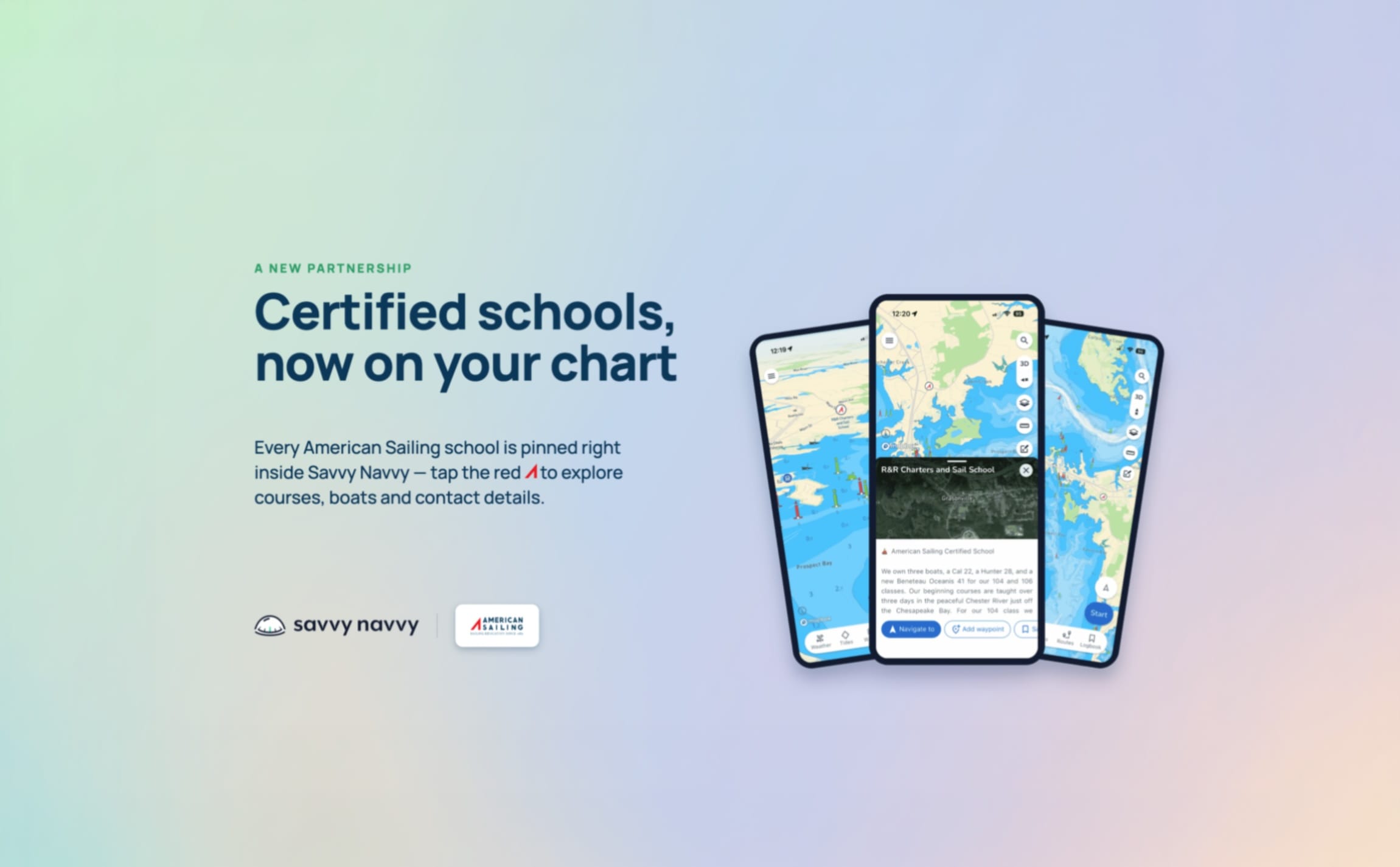
Try planning your next route with Savvy Navvy. American Sailing members can access an exclusive discount.
About the Author
Savvy Navvy is an award-winning marine navigation app designed to make boating simpler, safer, and more enjoyable. Often described as “Google Maps for boats,” the app combines official marine charts, weather forecasts, tides, GPS tracking, and intelligent route planning into one easy-to-use platform.
Built for sailors, powerboaters, anglers, and cruisers alike, Savvy Navvy removes the complexity of traditional navigation by bringing together the essential tools boaters rely on every time they head out on the water. Features like Smart Routing, real-time weather and tide data, AIS vessel tracking, ETA and fuel calculations, offline charts, and live location sharing help users plan and navigate with confidence.
Trusted by more than 3 million boaters worldwide and backed by thousands of five-star reviews, Savvy Navvy has earned multiple industry awards for innovation and product excellence. Whether you’re exploring a local harbor, planning a coastal passage, or embarking on an offshore adventure, Savvy Navvy puts everything you need for safe, informed navigation right in your pocket.
Visit savvy-navvy.com to learn more.

Join The Discussion
-
How do you plan for changing conditions on the water?
Learn how Savvy Navvy combines wind, weather, tides, waves, and chart data into one continuously updating route. Read Savvy Navvy’s article to see how Smart Routing can help you plan safer, more comfortable passages. https://americansailing.com/articles/how-savvy-navvy-smart-routing-helps-boaters-make-better-decisions-at-sea/
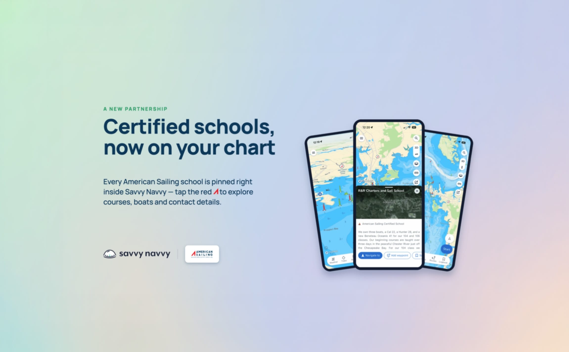
americansailing.com
How Savvy Navvy Smart Routing Helps Boaters Make Better Decisions at Sea
How Savvy Navvy Smart Routing Helps Boaters Make Better Decisions at Sea Learn how Smart Routing combines weather, tides, waves, and charts.
Sorry, there were no replies found.
Log in to reply.